-40%
CMOR Mapping Block Island for Simrad/Lowrance/Mercury #LIMV001S
$ 369.6
- Description
- Size Guide
Description
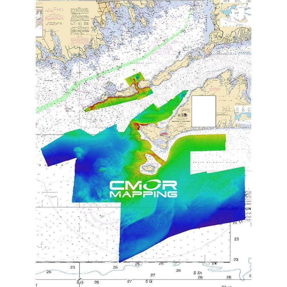
Long, Block Island Sound & Martha\'s Vineyard for Simrad, Lowrance, B & G & MercuryThis CMOR Card covers 2000 square miles of continuous, feature-rich bottom in Long, Block, Rhode Island Sound and Martha’s Vineyard. There are hundreds of shipwrecks, thousands of uncharted rocks, and countless ledges and mounds that hold the largest fish! The depths range from 1\' to 385' in the deepest hole in the sound.
The coverage starts from Norwalk, CT on the NW corner to Eatons Neck on the SW corner and extends through the sound to east of Block Island.
The Long / Block Island Sound / Martha’s Vineyard CMOR card is the most complex and detailed chart ever created!
CMOR Mapping bathymetry arms you with more and better data than anybody else on the water.
NOAA Charts 12353, 12363, 13205, and 13218 are included in the background.
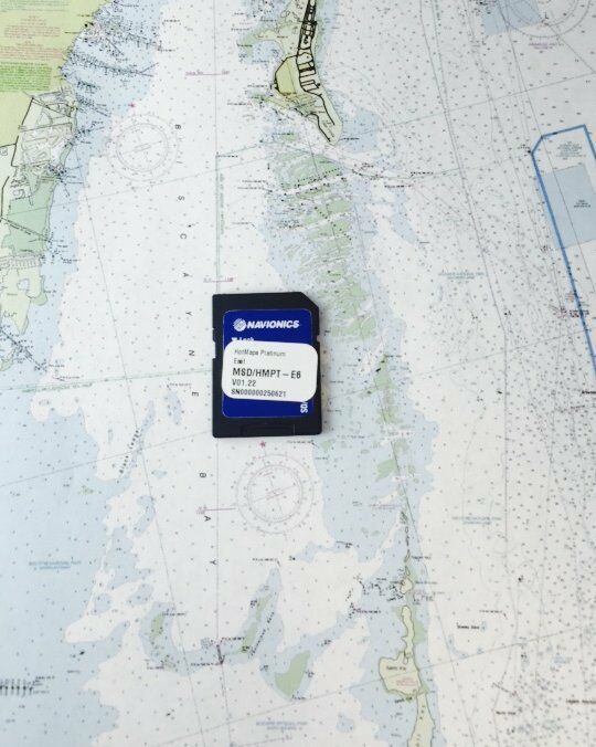
All CMOR Cards come on Micro SD cards with a standard SD adapter included.
CMOR Compatible Devices:
Lowrance
HDS Gen1 series
HDS Gen2 series (both keypad and touchscreen)
HDS Gen3 series
HDS Carbon
Elite HDI series
Elite CHIRP series
Elite Ti series
Simrad
NSS
NSS evo2
NSS evo3
NSE
NSO
NSO evo2
NSO evo3
GO XSE
GO XSR
B & G
Zeus
Zeus Touch
Zeus2
Zeus3
Vulcan
Mercury VesselView
502
702
703
903
Normalized SKU:
LIMV001S
UPC Code:
850001904209
