-40%
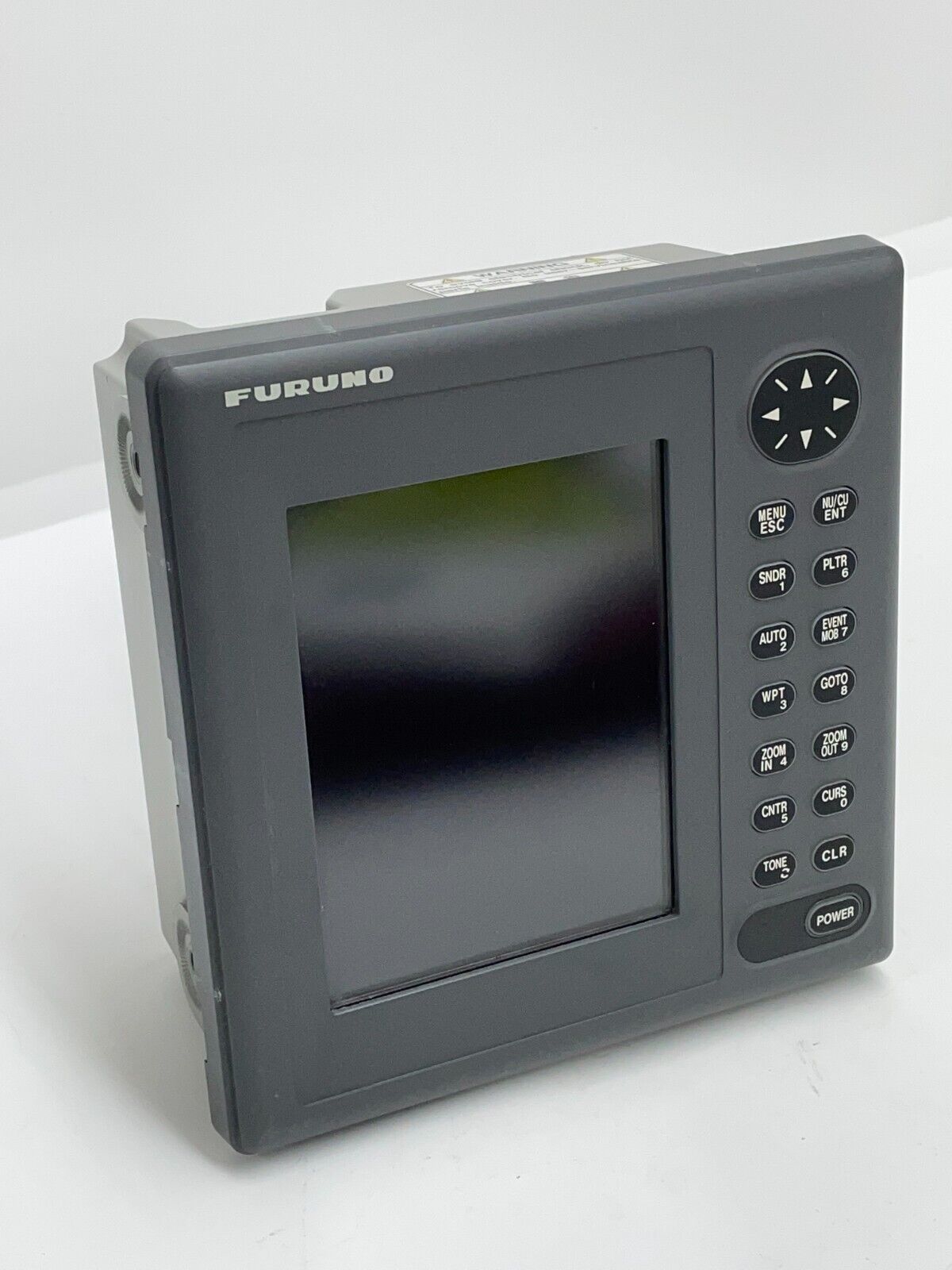
FURUNO GP-1610CF LCD Color GPS Chartplotter Sounder
$ 411.84
- Description
- Size Guide
Description
COLOR LCD GPS PLOTTER SOUNDERGood working condition Furuno Model GP-1610CF
Clear view 5.6-inch color LCD with DGPS capability
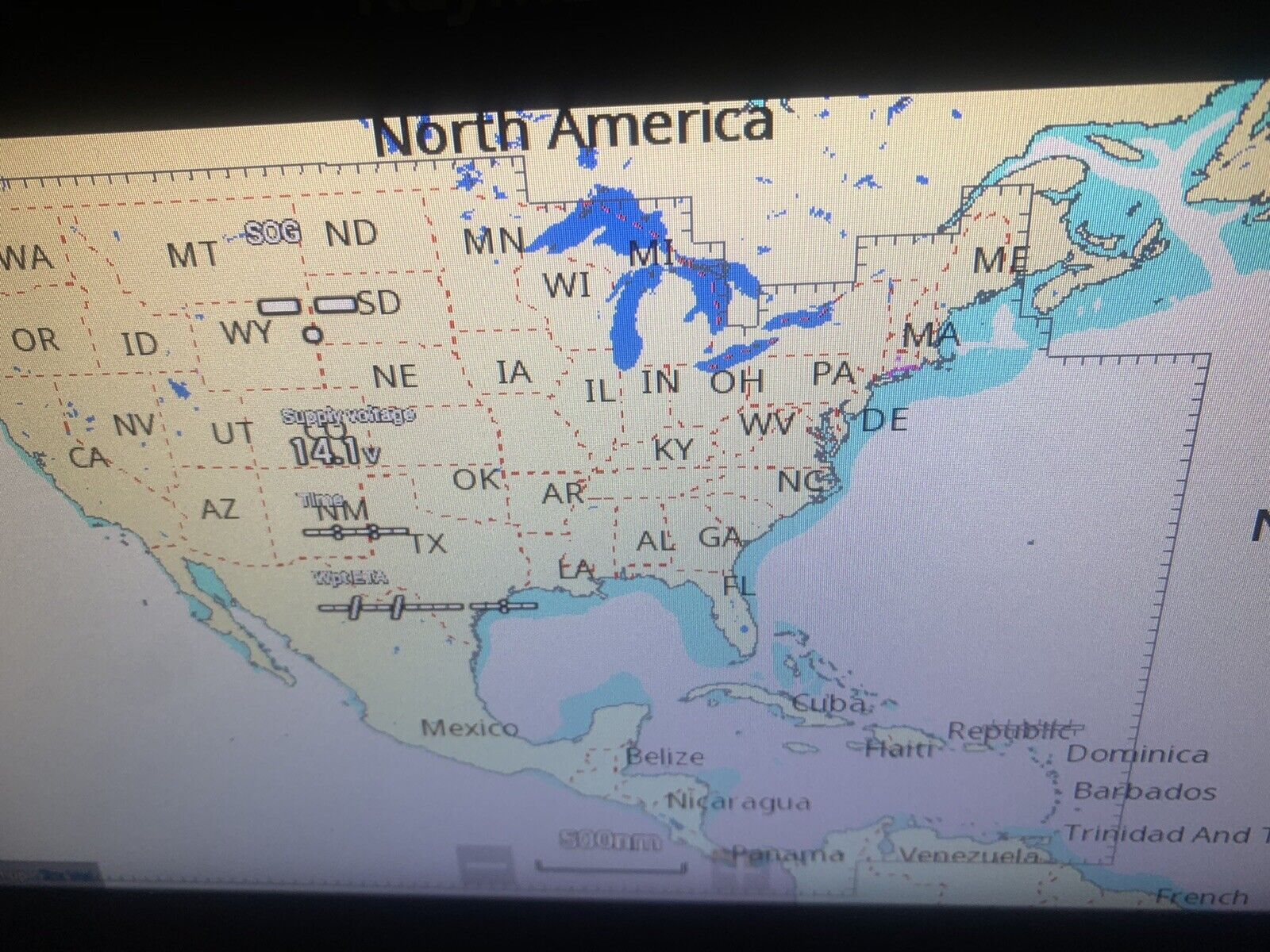
The GP-1610CF is a high-performance GPS plotter integral with a high-accuracy GPS receiver and a dual-frequency color echo sounder. It improves the safety and economy of navigation for small fishing boats and pleasure craft. It displays your vessel's planned route, actual tracks, waypoints and electronic charts as well as detecting fish and seabed. This is all shown on a vivid 5.6-inch color LCD (TFT) screen. A high sensitivity, eight-channel GPS receiver is incorporated to provide accurate and continuous updates of your vessel's position and speed data. You may work on Furuno or Navionics charts. Furuno's cartography enables a chart to be displayed in course-up in addition to north-up modes. The orientation of the chart can be locked with course data from the GPS so that the top of the display indicates your intended course. This is a very useful feature associating the head's up, over the bow view with the displayed chart. Using the north-up mode may require changing the operator's orientation to obtain the same view, compared to what you are looking at through the forward bridge windows. The GP-1610CF presents a variety of easy-to-use combined plotter and echo sounder display modes: Plotter, Sounder, Highway Display, Compass Rose and Nav data. In the Plotter mode, navaid information as well as own ship navigational data is displayed by placing the cursor on a lighthouse or lighted buoy mark. In the Highway Display mode, the next waypoint is displayed on the nav lane. You can instantly see the best course to steer and where the targeted waypoint is located relative to your ship. In the Sounder mode, fish and underwater information is obtained
with the integral 50/200 kHz 300-Watt echo sounder. Frequency selection is easily done on the menu. The GP1610CF has one port for connection of an external DGPS beacon receiver with RTCM SC104 format for those who require extremely high position accuracy. The new compact display unit is completely waterproof, making it appropriate to install anywhere on the vessel's fly bridge.
● 5.6-inch, clear-view color LCD (TFT) 234(H) x 320(V) dots
● High Performance 8-channel integral GPS receiver
● DGPS ready receiver
● Built-in 300-Watt dual frequency multi-mode Echo Sounder
● Combined display of vessel's plotted tracks, waypoints, planned routes, and sounding depths on an electronic chart
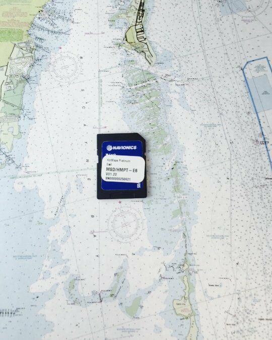
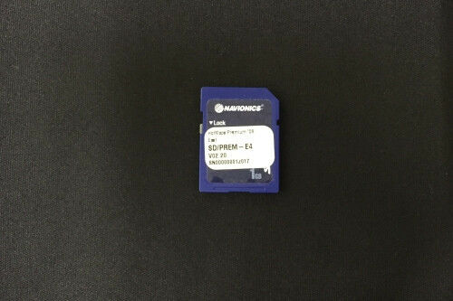
● Use of FURUNO and NAVIONICS chart cards
● Built-in worldwide base chart
● Chart plotter with advanced graphic nav data displays
● Display of target data from radar outputting TLL data
● North-up or Course-up chart display
● Low power consumption
● Waterproof display
DISPLAY UNIT 5.6-inch color LCD (TFT),
234 (H) x 320 (V) dots
DISPLAY MODES
Plotter, Plotter + Echo Sounder, Echo Sounder, Compass
Rose, Highway, and Nav Data
RECEIVER CHARACTERISTICS
1. Receiver Type Eight discrete channels, C/A code,
all-in-view
2. Receive Frequency L1 (1575.42 MHz)
3. Accuracy: 50 m, 95% of the time, Horizontal
dilution of position (HDOP)≤4
(15 m, SA off)
Note: All GPS receivers are subject to degradation of position
and velocity accuracies under the U.S. Department of
Defense. Position may be degraded up to 100 meters.
4. Time to First Fix 20 seconds typical (Warm start)
5. Tracking Velocity 900 knots
6. Geodetic System WGS-84, NAD-27, and others
7. DGPS Capability (External DGPS beacon receiver required)
RTCM SC104 v.2.0 format in RS422 level from an
external beacon receiver
Accuracy: 5 m, 95% of the time
PROCESSOR/DISPLAY CHARACTERISTICS
1. Chart Data Chart ROM card
(FURUNO or NAVIONICS)
2. Scale Scale: 0.07 to 3071 nm
3. Plot Interval 1 s-99 min 59 s or 0.01-99.99 nm
4 Memory Capacity
2,000 points total for ship's track and marks including 100 event
marks, 199 waypoints, 20 routes (containing 30 waypoints/ route),
1 MOB
5. Voyage Plan Waypoint navigation or route navigation
6. Alarms Arrival/anchor watch, XTE, speed, temperature*
and trip *Temp sensor or Triducer required
7. Interface (NMEA0183) - -: any talker
Output (ver 1.5/2.0):
$GPAAM, $GPAPB, $GPBOD, $GPBWR, $GPGLL, $GPRMB
$GPRMC,$GPVTG, $GPXTE, $GPZDA, $GPDPT, $GPMTW
Input (ver 1.5/2.0):
$- -MTW, $- -TLL, $- -GLL, $- -GGA, $- -RMA, $- -RMC,
$- -VTG, $- -ZDA
ECHO SOUNDER
1. Display
Normal, Marker Zoom, Bottom-Lock, Bottom Zoom, A-scope
2. Frequency 50 or 200 kHz (selectable in menu)
3. Basic Range 5, 10, 20, 40, 80, 160, 300 m
(ft/fa available)
4. Range Phasing Up to 600 m (max depth)
5. Pulselength 0.1 to 3.0 ms depending on range scale
6. Output Power 300 W
7. Alarms Fish, bottom
ENVIRONMENT (IEC945 test method)
Temperature: -15°C to +55°C (display unit)
-25°C to +70°C (antenna unit)
Water resistance: • IPX5 (IEC529)
• CFR-46 (USCG standard)
POWER SUPPLY
12/24 VDC, 20 W
