-40%
GARMIN GPSMAP 130 Marine Chartplotter - GPS Navigator NMEA0183
$ 99.81
- Description
- Size Guide
Description
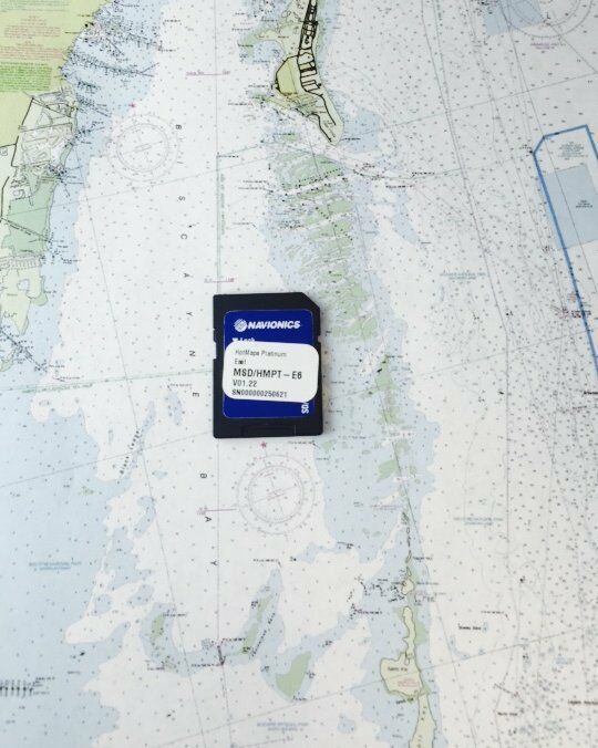
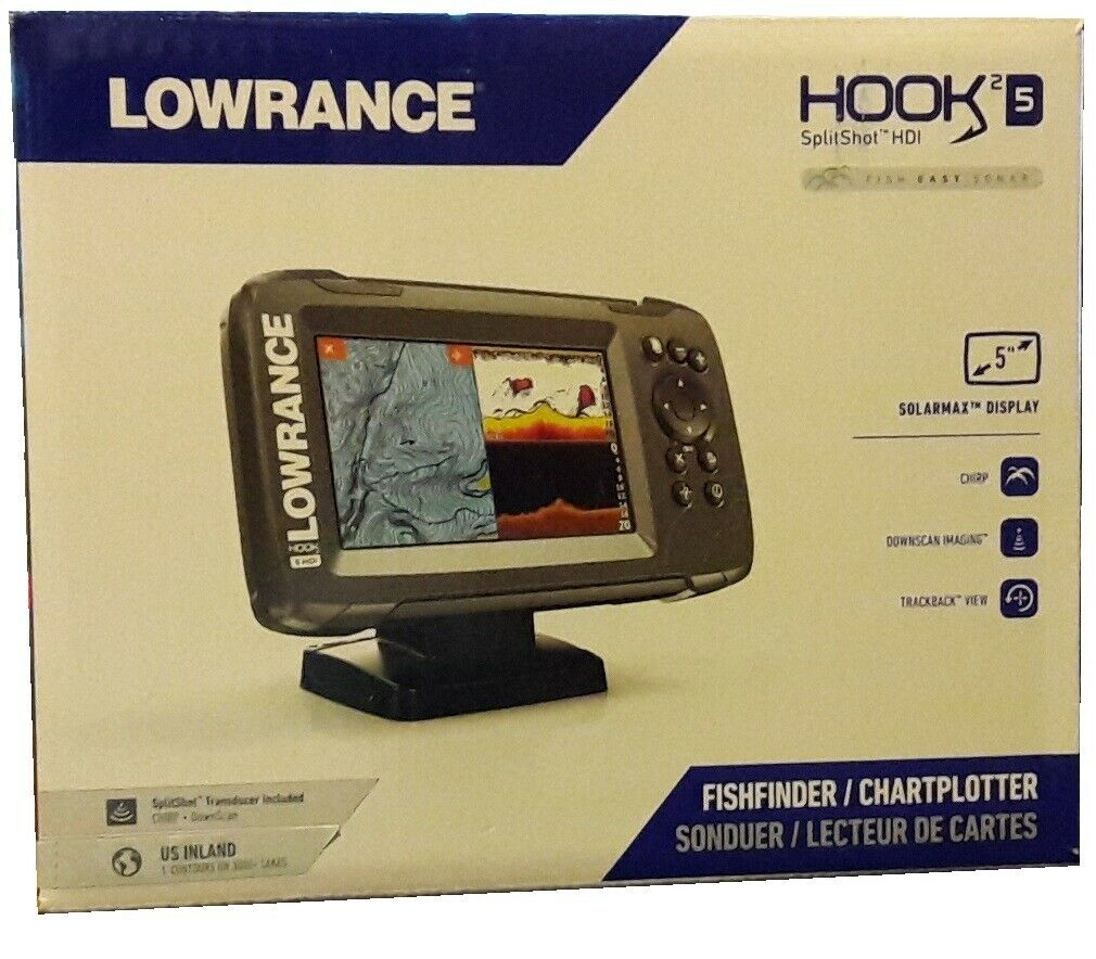
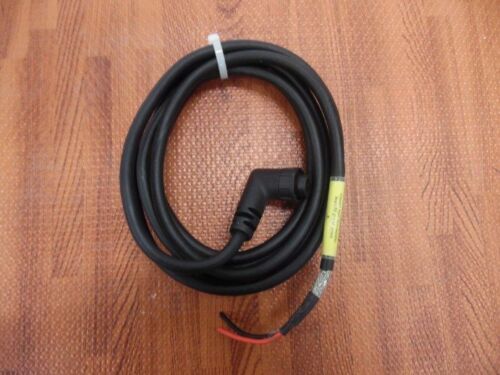
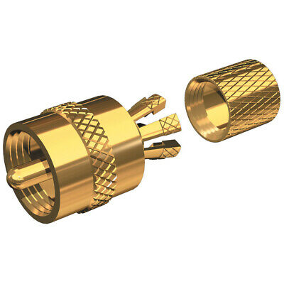
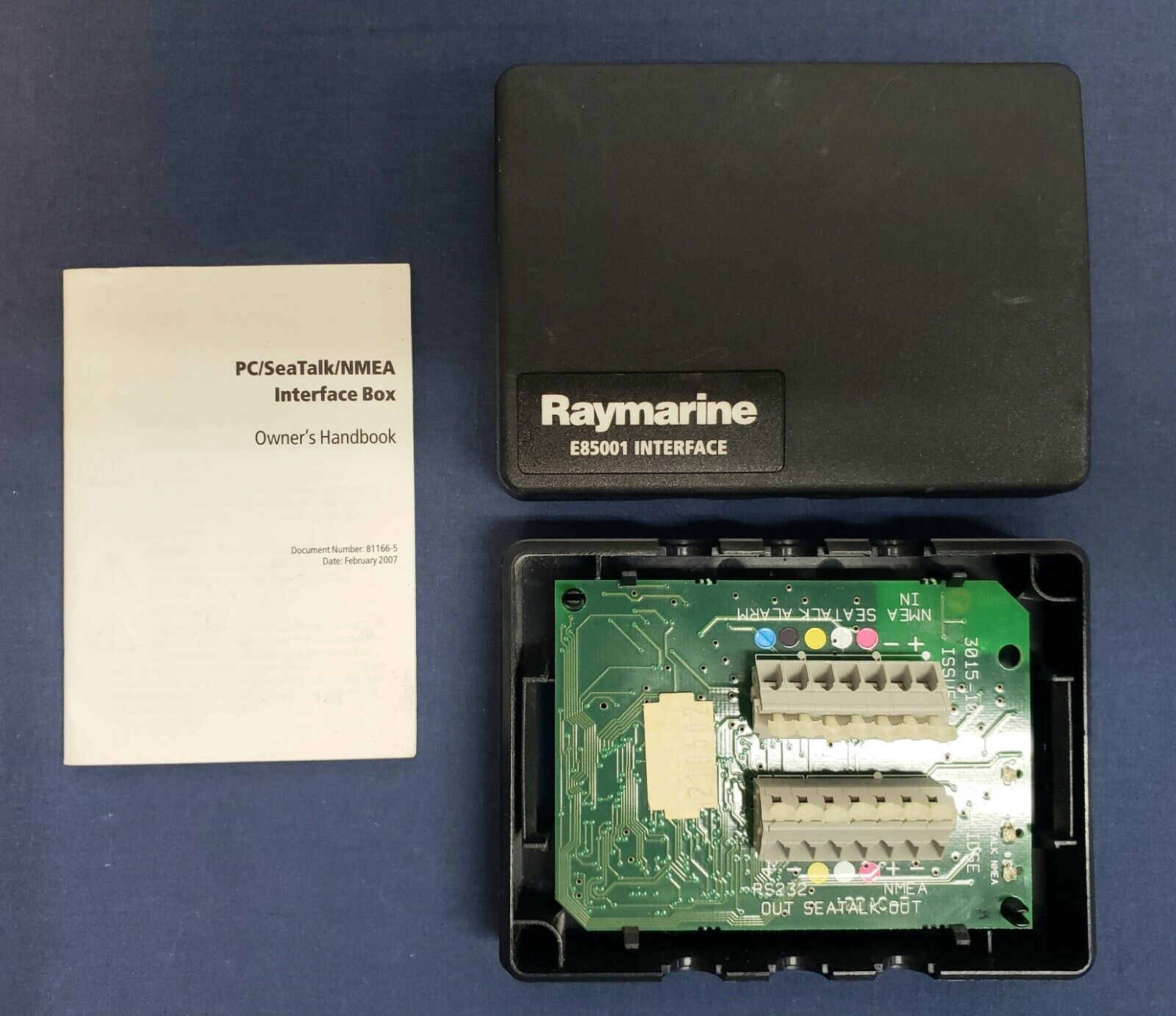
GARMIN GPSMAP 130 Marine ChartplotterNOTE: Unit is sold as is. No power cable included. You get what you see on the photos.
*****
Just because you're tight on space doesn't mean you have to miss out on the convenience of digital GPS chartplotting. The GPSMAP® 130 serves up a large, crisp image on a 4.1" diagonal screen, and even has a built-in worldwide database to get you started. Add in a plug-in G-chart for inland water or Navionics offshore cartography, and you'll be able to chart an adventure from the boat ramp to the open water.
The GPSMAP 130's 12 parallel channel receiver offers unmatched performance and accuracy, while a full complement of alarm and planning functions help you get around at the touch of a button. And with point and shoot waypoint and route creation, track-up plotting, and graphic highway steering guidance, you'll have features most full-size chartplotters can only dream of.
Much more than just a GPS receiver, the GPSMAP 130 also uses Garmin G-chart inland and Navionics offshore cartography for detailed display of buoys, depth contours, landmarks, boat ramps, and much more. And to top it off, it's all packaged in a compact, rugged, and well-designed case for console or flush mounting anywhere on your boat. With all of these features and advantages, the GPSMAP 130 will leave you wondering how you ever got along without it.
General
PHYSICAL DIMENSIONS5.3" x 4.9" x 2.4" (15.6 x 5.1 x 1.23 cm)
WEIGHT1 lb. (454g)
MOUNTING OPTIONS Bail or Flush
POWER
CONSUMPTION 3 W max at 10 vDC
ANTENNA External only
Maps & Memory
ACCEPTS DATA CARDS 1 G-Chart
WAYPOINTS 250
TRACK
LOG 1,024 points
ROUTES 20
Sensors NMEA 0183
COMPATIBLE Connections
NMEA 0183 INPUT PORTS 1
NMEA 0183 OUTPUT PORTS 1


