-40%
GARMIN GPSMAP 172C Marine Color Chartplotter - GPS Navigator
$ 135.42
- Description
- Size Guide
Description
NOTE: The unit is untested. Sold as is.************
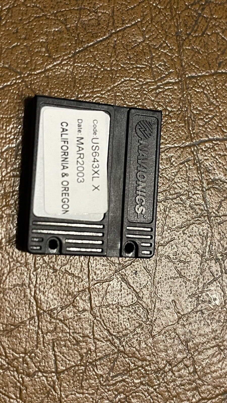
Own the lake with the GPSMAP 172C and its counterpart, the GPSMAP 178C Sounder. With a bright, sunlight-readable color display and worldwide marine basemap, the 172C is ready to chart your next marine adventure.Chart Your Course The GPSMAP 172C features a built-in worldwide marine basemap and accepts MapSource® BlueChart® offshore marine cartography, featuring detailed depth contours, inter-tidal zones, wrecks, navaids, and many other points of interest. For small-water anglers, the 172C is compatible with MapSource Recreational Lakes with Fishing Hot Spots, featuring fishing areas, boat ramps, marinas, and hazards for hundreds of popular U.S. and Canadian lakes. You can also use compatible preprogrammed data cards, which insert easily into the slot on the front of the plotter. GPSMAP 172C: Chart your course with this versatile plotter General PHYSICAL DIMENSIONS 6.3" x 4.9" x 2.8" (15.7 x 12.2 x 7.1 cm) DISPLAY SIZE 3.2" x 3.2" (8.1 x 8.1 cm) DISPLAY RESOLUTION 320 x 320 pixels DISPLAY TYPE 256-color CSTN WEIGHT 15.6 oz (442 g) WATER RATING IPX7 MOUNTING OPTIONS Bail or Flush POWER CONSUMPTION Max power usage at 13.8 Vdc: 6W ANTENNA Internal RECEIVER GPS Receiver GARMIN MARINE NETWORK™ PORTS None Maps & memory ACCEPTS DATA CARDS 1 Garmin Data Card WAYPOINTS 3,000 TRACK LOG 10,000 points ROUTES 50 Outdoor recreation TIDE TABLES Chartplotter features GARMIN SONAR COMPATIBLE Yes (with optional GSD 20 or GSD 21) SUPPORTS DSC (DISPLAYS POSITION DATA FROM DSC-CAPABLE VHF RADIO) GSD™ BLACK BOX SONAR SUPPORT Sonar features & specifications DUAL-FREQUENCY (50/200 KHZ) SONAR CAPABLE Yes (with external black box, sold separately) DUAL-BEAM (77/200 KHZ) SONAR CAPABLE Yes (with external black box, sold separately) Connections NMEA 0183 INPUT PORTS 2 NMEA 0183 OUTPUT PORTS 2


