-40%
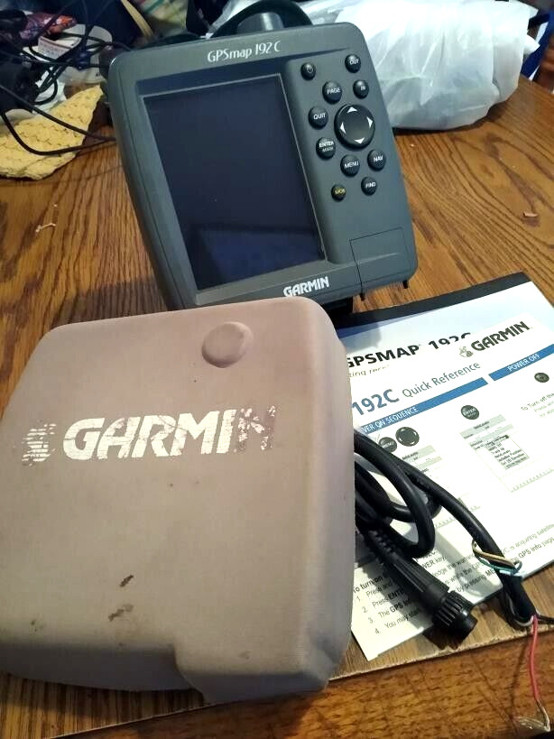
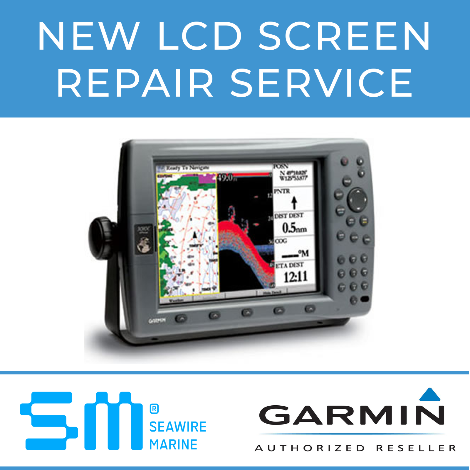
GARMIN GPSMAP 192C Color Chartplotter w/built in ANTENNA MOUNT, COVER & BOOK
$ 105.59
- Description
- Size Guide
Description
GARMIN GPSMAP 192C Color Chartplotter w/built in ANTENNA, POWER/DATA CABLE , MOUNT, SUN COVER AND BOOK-NMEA PERFECT! GUARANTEE!
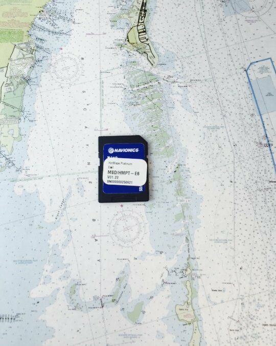
PRELOADED WITH ALL US MARINE DETAILED MAPS
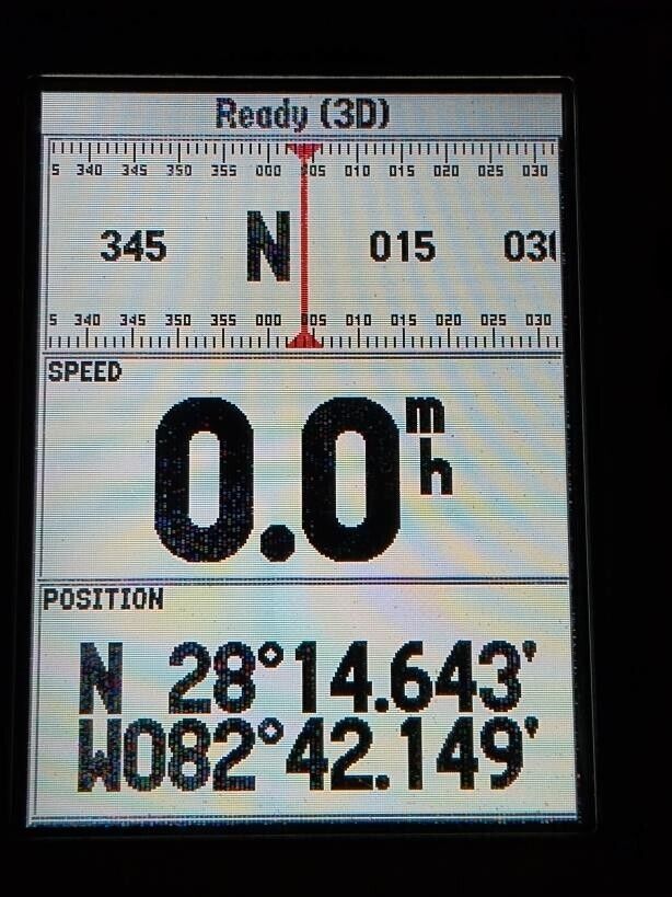
Works perfectly, fully tested with guarantee.
Including the power/data cable and mount.
****
Preloaded and ready for the water
The GPSMAP 192C is ideal for seafarers who log a lot of miles on their boats, or for people who don’t have access to a PC to load individual charts onto their plotter. The unit boasts built-in, highly-detailed BlueChart cartography of the coastal United States — including Alaska and Hawaii. This data provides detailed coastlines, shaded depth contours, navaids, port plans, wrecks, restricted areas, and more.
The unit has been updated with a new look and feel that makes marine navigation even easier. Building on Garmin’s popular and proven GPSMAP 182C, the GPSMAP 192C has a new and brighter display that makes charts incredibly easy to view — even in direct sunlight. The unit also features an updated faceplate.
Designed for easy installation in your boat’s open cockpit or overhead boxes, Garmin’s GPSMAP 192C Sounder helps you chart a clear path to your fishing or boating destination.
General
DIMENSION6.3" x 6.2" x 2.64" (16.0 x 15.7 x 6.7 cm)
DISPLAY SIZE5" diagonal
DISPLAY RESOLUTION234 x 320 pixels
DISPLAY TYPE16-color TFT
WEIGHT2.0 lbs.
WATERPROOFIPX7
MOUNTING OPTIONSBail or Flush
Maps & Memory
ACCEPTS DATA CARDS1 Garmin Data Card
WAYPOINTS3,000
NAVIGATION ROUTES 50
Sensors
NMEA 0183 COMPATIBLE
Chartplotter Features
DSC
GSD BLACK BOX SONAR SUPPORT
Connections
CONNECTIONS NMEA0183 INPUT PORTS2
