-40%
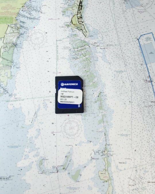
Navionics HotMaps Platinum East MSD/HMPT-E6 Multi-Dimensional Lake Maps SD Card
$ 95.37
- Description
- Size Guide
Description
Navionics HotMaps Platinum Inland Charts on SD/Micro-SD CardsNavionics has amassed the most comprehensive lake map database of its kind comprised of more than 17,000 total lakes throughout north America, including hundreds of high-definition lake maps created from our own on-the-water survey team. Our plug-and-play cartography is an indispensable component of the industry's leading chartplotter manufacturers because anglers and navigators around the world demand our attention to detail.
SonarChart Shading, created from the high-definition contour data within SonarChart, presents a detailed rendering of the seafloor and lake bottoms in varying shades of blue. As coverage areas are released, customers who own a Platinum+ or HotMaps Platinum chart with an active subscription will be able to download the combined satellite overlay and SonarChart Shading layer for their region via the Chart Installer.
Features:
New SonarChart Shading
Navaids, water depth, wrecks, rocks, obstructions, marinas, services, boat ramps and so much more
User-defined data display for uncluttered charts
Real-time display of position, course, speed, and track
Simple plug and play operation
Panoramic lake pictures (select HD survey lakes)
Satellite photo overlay (HD survey lakes)
3-dimensional view (HD survey lakes)
In the Box
Electronic Chart on Micro-SD card w/ adapter

