-40%
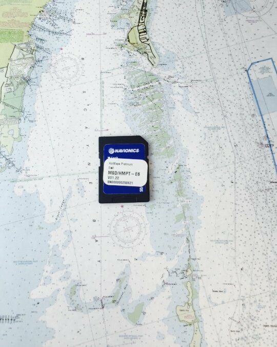
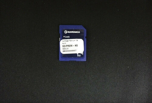
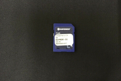
Navionics HotMaps Premium East U.S. Two-Dimensional Lake Maps on SD Card
$ 50.02
- Description
- Size Guide
Description
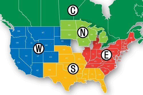
Navionics HotMaps Premium East U.S. Two-Dimensional Lake Maps on SD CardNavionics Hot Maps Premium East U.S., two-dimensional lake maps on Micro-SD card with SD adapter. Hot Maps Premium leads the way to fish. Whether you are a tournament angler or relaxing on a weekend, you can study patterns and eliminate unproductive water to target the most successful areas. With the latest content on up to 18,000 lakes including over 2,500 High Definition Lakes with Navionics exclusive 1 foot contouring. Premium contains updated structure including road beds, bridges, stumps, culverts and creek channels, updated shorelines including boat ramps and docks. Features include a clear, easy to use, familiar paper-like display of all detail from the best maps available and Navionics exclusive surveys. Updates are made Daily. Features include: Road beds, Foundations, Creek Beds, Brush Piles, Fish Attractors and other submerged structure locations; Accurate Coastline, Dock, and boat ramp locations; Staff additions; Coastal Data with Tides and Currents. Coverage for Connecticut, Delaware, Illinois, Indiana, Kentucky, Massachusetts, Maryland, Maine, Michigan, North Carolina, New Hampshire, New Jersey, New York, Ohio, Pennsylvania, Rhode Island, South Carolina, Tennessee, Virginia, Vermont, and West Virginia.
Inland lake coverage
Contours as fine as 1'
For plotters using SD or Micro-SD cards
Chart-like presentation
Navionics hotmaps premium lake maps east on sd or micro sd
3-D view = none, aerial photo = none, port plans = none, card format = sd
Features Premium Lake Maps
